RESEARCH PROFILE
Scientific research and research and development works conducted at the Department of Agricultural Surveying, Cadastre and Photogrammetry fall within the scientific discipline of civil engineering and transport.
MAIN DIRECTIONS OF RESEARCH
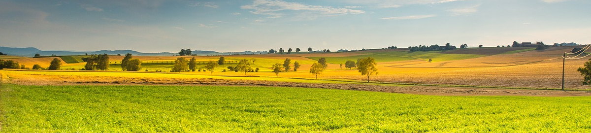
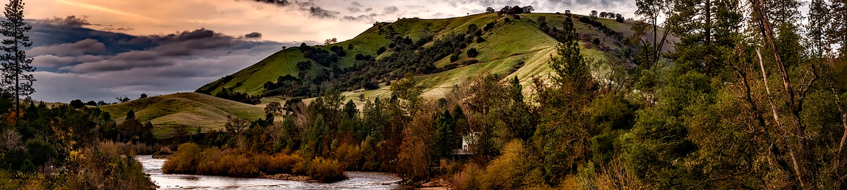
- comprehensive reconstruction of the spatial structure of agricultural and forest land;
- assessment of the effectiveness of land consolidation works in Poland;
- methods of acquiring, processing and visualising data on the spatial structure of agricultural and forest land;
- identification and analysis of land excluded from agricultural and forestry production;
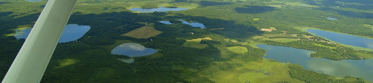
- the use of unmanned aerial vehicles to update geodetic databases;
- the use of unmanned aerial vehicles in land consolidation;
- analysis and quality assessment of data collected in the land and building registry database;
- the use of geodesy in shaping space;
- valuation of agricultural and forest real estate;
- research into the possibility of implementing modern technologies in the construction of a multidimensional cadastre;
- the use of unmanned aerial vehicles to update geodetic databases;
- the use of unmanned aerial vehicles in land consolidation;
- the use of unmanned aerial vehicles in obtaining geospatial information with various sensors,
- the use of unmanned aerial vehicles in 3D modelling;
- photo interpretation of agricultural production space;
- research on the use of modern photogrammetric techniques for the assessment and forecasting of landscape changes;
- acquisition, processing and integration of geospatial data;
- applications of short-range photogrammetry in various fields of industry and economy;
- digitization of 3D objects of various sizes;
- terrestrial, mobile, airborne laser scanning;
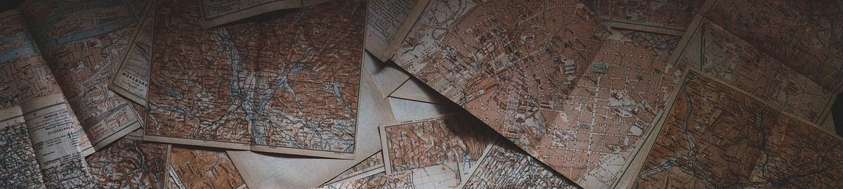
- the use of archival resources in the study of changes in the environment and property ownership;
- implementation of photogrammetric and laser scanning technologies in commercial activities.
RESEARCH PAPERS - selected examples of monographs
-Demarcation proceedings. Theoretical aspects and examples from practice
-Environmental and social effects of land consolidation
-Basics of integrated development of rural areas
-Principles of designing urbanised areas
-Digital photogrammetry. Photogrammetric terrestrial and aerial studies for students of geodesy at the University of Agriculture in Krakow
-Synergy of research methods in the process of rural landscape design