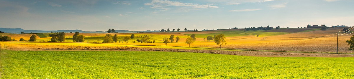
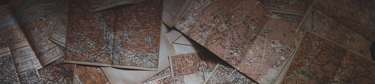
Commercial services in the field of geodetic arrangement of agricultural and forest areas as well as land and building records:
· supervising works in the field of land consolidation and modernisation of land and building records,
· conducting training in the field of:
§ geodetic and cartographic law,
§ divisions and demarcations of real estate,
§ updating and modernising the land and building register,
§ geodetic arrangement of agricultural areas,
· preparation of reports on the impact of land consolidation on the environment
· carrying out specialist expertise in the field of:
§ analysis of the demand for consolidation works,
§ assessment of the impact of land consolidation on the environment,
§ assessment of the impact of a linear investment on the spatial structure of land,
§ assessment of the quality of registration data in the context of modernization of land and building records,
§ property demarcations,
§ valuation of agricultural and forest real estate.
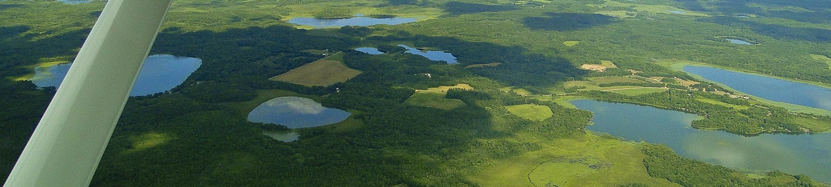
Commercial services in the field of photogrammetry and remote sensing:
· implementation of pilot projects using:
§ Leica ScanStation P40 terrestrial laser scanner,
§ DJI Matrice 300 RTK unmanned aerial vehicle equipped with:
· DJI Zenmuse L1 laser scanner,
· 5-lens camera (vertical and oblique photos) Share PSDK 102S,
· Micasense RedEdge MX multispectral camera,
· DJI H20T thermal camera,
· DJI Zenmuse P1 RGB camera,
§ close-range photogrammetry,
· implementation of photogrammetric technologies in the client’s business,
· conducting training in the field of:
§ close-range photogrammetry,
§ terrestrial laser scanning,
§ obtaining and processing data from unmanned aerial vehicles,
· preparation of specialised expert opinions in the field of photogrammetry – including the preparation of court opinions based on archival aerial photos,
· implementation of commissioned research and research and development works in the field of:
§ photogrammetry,
§ close-range photogrammetry,
§ obtaining and processing data from unmanned aerial vehicles,
§ multi-temporal analyses using archival data,
§ laser scanning.